
Home / Cycling paths
Cycling Paths in Karura Forest
The cycling paths in Karura Forest are the designated bike routes. The published cycling path is the northern bike track, about 12 km in the northern part of the forest. Friends of Karura Forest marks that track with red arrows on the forest map. You join it across the Karura River from the KFEET side after Junction 12, or you enter it directly at Gate C on Kiambu Road.
| Cycling path | Where it is | How you join it |
|---|---|---|
| Northern bike track | Northern part of the forest, about 12 km | Red arrows on the forest map |
| From KFEET | After Junction 12 | Cross the Karura River between junctions 12a and 33 |
| From Gate C | Sharks Gate, Kiambu Road | Direct access to the track |
This record was updated as of . A closed junction or a changed line belongs on the Friends of Karura Forest map.
The Northern Bike Track in Karura Forest
The northern bike track is a cycling path of about 12 km in the northern portion of Karura Forest.
Friends of Karura Forest publishes this track for riders and draws it with red arrows on the forest map. It sits in the northern part of the forest, past the Karura River from the KFEET grounds. Walking paths are a different set of lines. Your own bicycle and a hired bicycle use this same track. A Karura Bikes hire is KES 650 per person for 2 hours. That time limit is on the bike, not on the length of the track.
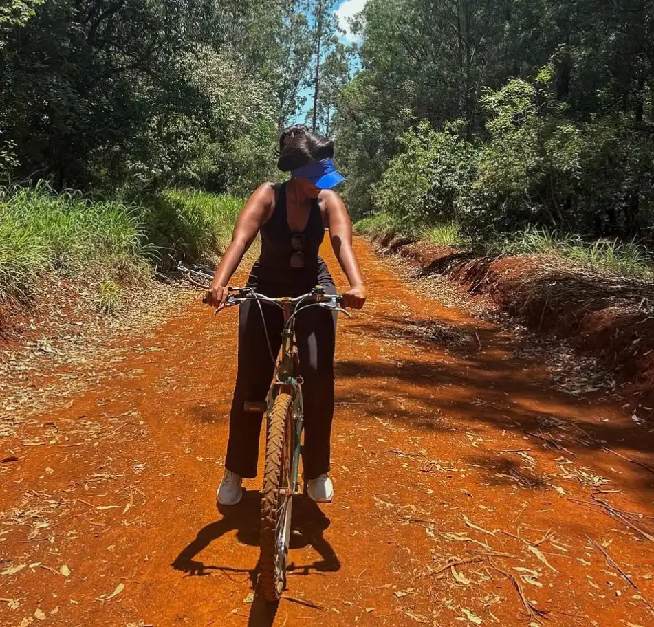
The Karura River Crossing on the Northern Bike Track
The Karura River crossing is the way onto the northern bike track from the KFEET side.
Take the bike route from KFEET after Junction 12. Cross the Karura River between junctions 12a and 33. A bridge beyond Junction 12a joins that bike route to the northern track, so riders from KFEET no longer stop at the river. KFEET is the grounds you reach through Gate A on Limuru Road.
| From KFEET | On the path |
|---|---|
| Start of the bike route | After Junction 12 |
| River crossing | Karura River, between junctions 12a and 33 |
| Bridge | Beyond Junction 12a |
| Gate into KFEET | Gate A, Limuru Road |
Gate C Entrance to the Northern Bike Track
Gate C is the direct entrance to the northern bike track from Kiambu Road.
Friends of Karura Forest calls this entrance Sharks Gate. It is the second published way onto the 12 km track. You do not need the river crossing from KFEET if you start here. That source lists the gate as open from 6:00 to 18:00, and locked at 19:00. Parking and a toilet are inside the gate. Pay the Karura Forest entrance fee at the gate before you ride. Karura Bikes also meets hired riders at Gate C when the booking names that gate.
Junction Numbers on the Karura Forest Cycling Paths
Junction numbers are the markers that name each split on the cycling paths.
The number on the post matches the number on the Karura Forest map. Junction 12, Junction 12a, and Junction 33 are the markers Friends of Karura Forest uses for the bike route onto the northern track. The same numbering covers the other splits in the forest, so you can follow the red arrows from one post to the next. An A3 map is sold at the entrances, and Friends of Karura Forest also publishes the map on its biking page. Use that map when a junction is closed or the line has moved. This page records the published route. It does not replace the map in your hand.
Walking Trails Beside the Cycling Paths
The yellow, blue, and green trails beside the cycling paths are walking and running routes, not bike lanes.
Friends of Karura Forest colour-codes those routes as 5 km yellow, 10 km blue, and 15 km green. The forest map also draws footpaths and a horse path as their own lines. The cycling path remains the northern bike track with the red arrows. On that track, call out before you pass a walker. People on foot share the forest with riders, and a bell is easy to miss.
| Line on the map | What it is |
|---|---|
| Northern bike track, red arrows | Cycling path, about 12 km |
| 5 km yellow, 10 km blue, 15 km green | Walking and running trails |
| Footpath and horse path | Separate from the bike track |